
Address
Kanakapura Main Road, Badamanavarathekaval, Bengaluru South, Karnataka - 560083 (near the Art of Living International Ashram)
Sattva Hill View sits directly on Kanakapura Main Road in Badamanavarathekaval, Bengaluru South, at the 21st kilometre - the corridor's green belt beyond the city's built edge. Its structural advantage is a single node roughly 7 km north, where the NICE Road junction and the Silk Institute metro terminus sit just 535 metres apart. Inside the Bengaluru search area, Sattva Jigani helps buyers keep the map conversation grounded in actual routines instead of only distance claims.
Map Link
Use the shared map link to review access routes and compare the corridor against your daily commute pattern. The embedded map below keeps the address view close at hand.
Kanakapura Main Road, Badamanavarathekaval, Bengaluru South, Karnataka - 560083 (near the Art of Living International Ashram)
South-Bengaluru and work-from-home buyers, retirees, frequent-flyer-agnostic households, and investors underwriting corridor appreciation and a protected view.
Employment is 18 to 21 km east; Electronic City is a NICE Road run and Whitefield is not a daily commute. Test the drive at 9 am before booking.
Location Reading
A home is never just four walls. It is every road you drive, every school you pass, and every hospital you hope you never need but want nearby. Sattva Hill View sits directly on Kanakapura Main Road in Badamanavarathekaval, Bengaluru South (PIN 560083), roughly 1.2 km east of the Art of Living International Ashram - the stretch buyers describe as the corridor's green belt, beyond the city's built edge and before the road runs on toward Harohalli and Kanakapura town.
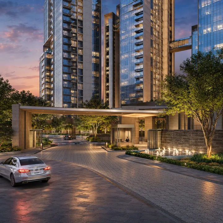
Kanakapura Road (NH-209 / SH-3) runs south-southwest from Bengaluru's inner south. Over the past decade it has moved from weekend route to one of South Bengaluru's better-performing residential corridors, for structural reasons: it has an operational metro terminus at Silk Institute, expressway access at the NICE Road junction, and a green character - the ashram campus, Turahalli Forest, Thottikallu Falls, the Kaggalipura lake belt - that has kept large tracts from being built out. Flats here transact between Rs 8,250 and Rs 13,800 per sq.ft, averaging near Rs 10,350, up roughly 15% in the last year.
The corridor's structural advantage is a single node roughly 6.9 km north: the NICE Road-Kanakapura Road junction sits 535 metres from Silk Institute metro station, an eight-minute walk. One interchange delivers both the expressway ring - to Electronic City, Mysore Road and the western arc - and the Green Line's southern terminus. Very few Bengaluru corridors put an expressway junction and a metro terminus within walking distance of each other. Silk Institute is an origin station, so a resident boards seated and reaches Majestic, Jayanagar and the central business district without transfers.
At this latitude, immediately west of the site, the Art of Living campus covers 250 institutionally-held acres of hills, a central lake and flowering pathways. From the upper floors the outlook is across that campus and its ridgeline - a view that cannot be built out because the land is not for sale and not for redevelopment. The site fronts the main road for access, but the residential mass rises well above the road plane: from the fifteenth floor upward, road noise is a non-issue and the outlook is over the tree line.
This is where the corridor asks for honesty. Sattva Hill View is not a short commute to Bengaluru's IT belt. Electronic City is 21 km via NICE Road - workable at roughly 40 to 55 minutes off-peak, longer at rush hour. Outer Ring Road at Silk Board is 18.5 km. Whitefield is not a daily proposition, and no view compensates for a two-hour round trip. The buyer this suits is specific: households working in south Bengaluru, hybrid and remote professionals, business owners with flexible movement, retirees, and investors underwriting appreciation rather than commute convenience.
The Valley School (a Krishnamurti Foundation India campus) is 2.6 km, Gopalan International School 4.5 km, Delhi Public School South 6.2 km. On healthcare, St. John's Hospital at Brigade Meadows is under 3 km - the meaningful entry, a multi-specialty facility inside the corridor - with Fortis on Bannerghatta Road at 15 km. The Arcade at Brigade Meadows (2.8 km) handles daily retail; Royal Meenakshi Mall on Bannerghatta Road (13.5 km) is the nearest full-format mall. Retail is thinner than a mature address offers, and that is the corridor's honest gap.
A proposed Silk Institute to Harohalli extension - roughly 24 km, about 18 stations - sits under Phase 4 planning, with reports and approvals in process as of late 2025. If it commissions it would place a station materially closer and reset every rate comparable on the stretch. Underwrite it as optionality, not a committed asset; nothing in this project's pricing depends on it. Verify approvals and the project registration on Karnataka RERA when it publishes.
Use the overview to connect the location with the vertical thesis, the master plan to see how the towers sit on the land, and the price page to judge whether the ticket size makes sense for the growth story. A good location is not just central - it is where your work, your life and your idea of the future line up.
The Wider Corridor
Beyond the commute arithmetic, three things round out an honest read of this address: what else Sattva is building nearby, how rail and air connect, and the green and leisure base that gives the sub-market its character.
Hill View does not stand alone on this stretch. Sattva Springs sits 1.2 km away and Sattva Kanakapura Road 2.6 km south - three parcels the same developer has consolidated within a 3 km radius. A builder concentrating that much land in one belt is making a legible bet about where the corridor's centre of gravity will settle, and that is a useful signal for a buyer weighing a pre-launch.
Majestic and the KSR City railway station sit roughly 21 km north, reachable by metro from Silk Institute without a car once you have driven to the terminus. Kempegowda International Airport is about 58 km - a genuine trade-off of a southern address at 90 minutes to two hours, though the NICE Road western arc removes the worst of the city crossing. Silk Institute being an origin station adds a quiet advantage most corridor addresses lack: structured parking at the terminus and a train that starts empty rather than one boarded mid-line.
Where the corridor is unusually rich is green: Thottikallu Falls 5.4 km, Turahalli Forest 8.0 km, Bannerghatta National Park to the east, and the Kaggalipura lake belt through the immediate surroundings, with the Art of Living campus running a year-round visitor calendar that supports local hospitality. The investment case rests on the asymmetry beneath all of it - delivered infrastructure on a corridor still priced near its Rs 10,350 average, a gap the last year's roughly 15% move suggests the market has begun to close.
Need help with location fit?
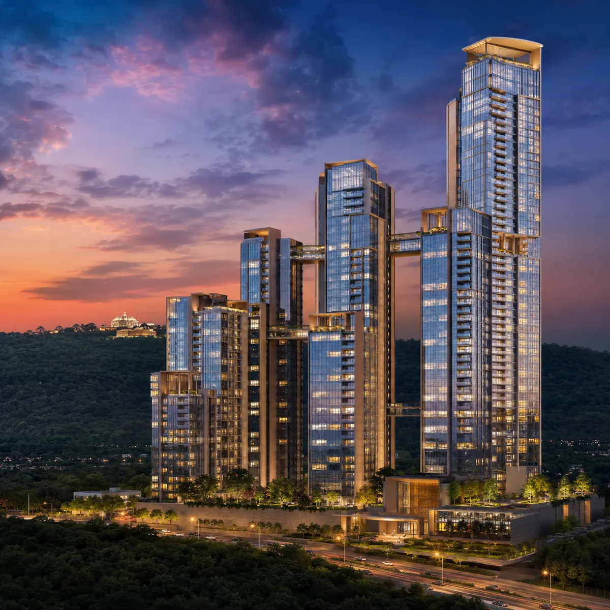
Directly on Kanakapura Main Road in Badamanavarathekaval, Bengaluru South (PIN 560083), approximately 1.2 km east of the Art of Living International Ashram - the 21st kilometre of the corridor, the green belt beyond the city's built edge. The site holds main-road frontage, which for a 149-metre tower matters twice over: for access, and because nothing between the tower and the western ridge obstructs the view.
Silk Institute, the Green Line's southern terminus, is approximately 7.3 km north, and the NICE Road-Kanakapura Road junction is 6.9 km - the two sit just 535 metres apart, an eight-minute walk. One node delivers both the expressway ring and the metro terminus, which is rare in Bengaluru.
Electronic City Phase 1 is roughly 21 km via NICE Road - about 40 to 55 minutes off-peak, longer at rush hour. Outer Ring Road at Silk Board is 18.5 km, and Whitefield is not a realistic daily commute. The international airport is about 58 km, 90 minutes to two hours.
A proposed Silk Institute to Harohalli extension - roughly 24 km, about 18 stations - sits under Phase 4 planning with approvals in process as of late 2025. Treat it as optionality, not a committed asset; nothing in the project's pricing depends on it.
The Valley School (Krishnamurti Foundation India) is 2.6 km, Gopalan International School 4.5 km, Delhi Public School South 6.2 km. St. John's Hospital at Brigade Meadows is under 3 km, with Fortis on Bannerghatta Road at 15 km - St. John's being the meaningful entry, a multi-specialty facility inside the corridor.
South. Kanakapura Road runs south-southwest from Bengaluru's inner south toward Kanakapura town. Some third-party listings apply North Bengaluru framing, which is simply incorrect - the North Bengaluru corridors are Yelahanka and the airport belt, in the opposite direction.